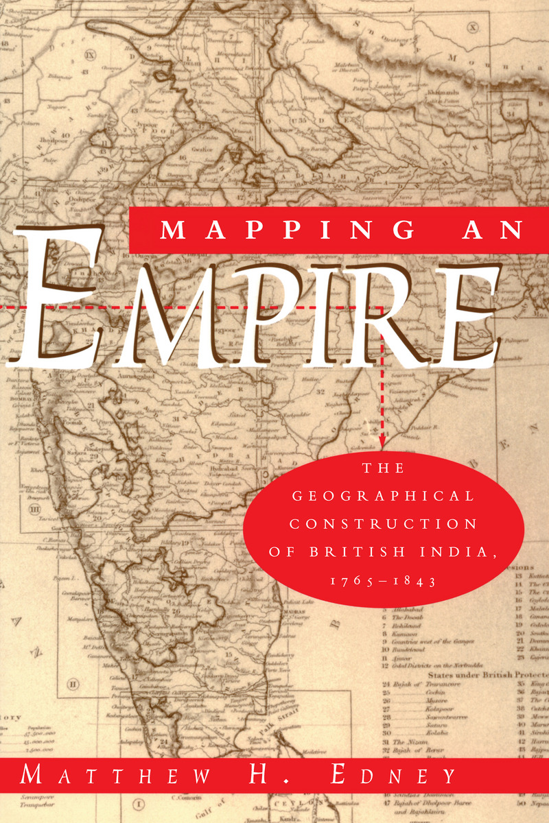
Cloth: 978-0-226-18487-6 | Paper: 978-0-226-18488-3 | Electronic: 978-0-226-18486-9
DOI: 10.7208/chicago/9780226184869.001.0001
AVAILABLE FROM
University of Chicago Press (paper, ebook)Amazon Kindle (PDF)
Brytewave (CafeScribe-Follett Higher Ed)
DeGruyter Multi-User Ebook Program
ebrary
EBSCO eBooks (formerly NetLibrary)
Kno
ABOUT THIS BOOK
"There is much to be praised in this book. It is an excellent history of how India came to be painted red in the nineteenth century. But more importantly, Mapping an Empire sets a new standard for books that examine a fundamental problem in the history of European imperialism."—D. Graham Burnett, Times Literary Supplement
"Mapping an Empire is undoubtedly a major contribution to the rapidly growing literature on science and empire, and a work which deserves to stimulate a great deal of fresh thinking and informed research."—David Arnold, Journal of Imperial and Commonwealth History
"This case study offers broadly applicable insights into the relationship between ideology, technology and politics. . . . Carefully read, this is a tale of irony about wishful thinking and the limits of knowledge."—Publishers Weekly
TABLE OF CONTENTS
List of Illustrations and Maps
List of Tables
Preface
Note on East India Company Coinage
Places Mentioned in the Text: Southern India and Northern India
Chronology of Events and the Expansion of the East India Company
Chapter One. The Ideologies and Practices of Mapping and Imperialism
Part One: The Enlightenment Construction of Geographical Knowledge
Chapter Two. Observation and Representation
Chapter Three. Surveying and Mapmaking
Part Two: Institutional Structures Andcartographic Anarchy
Chapter Four. Structural Constraints of the East India Company's Administration
Chapter Five. Cartographic Anarchy and System in Madras, 1790-1810
Part Three: The Great Trigonometrical Survey and Cartographic System
Chapter Six. Institutions for Mapping All of British India, 1814-23
Chapter Seven. Triangulation, the Cartographic Panacea, 1825-32
Chapter Eight. The Final Compromise: Triangulation and Archive, 1831-43
Part Four: Cartography, Science, and there Representation of Empire
Chapter Nine. Scientific Practice: Incorporating the Rationality of Empire
Chapter Ten. Cartographic Practice: Inscribing an Imperial Space
Biographical Notes
Notes
Unpublished Primary Sources, by Archive
Published Primary Sources
Secondary Sources Relating to the British Surveys in India
Principal Secondary Sources
Index