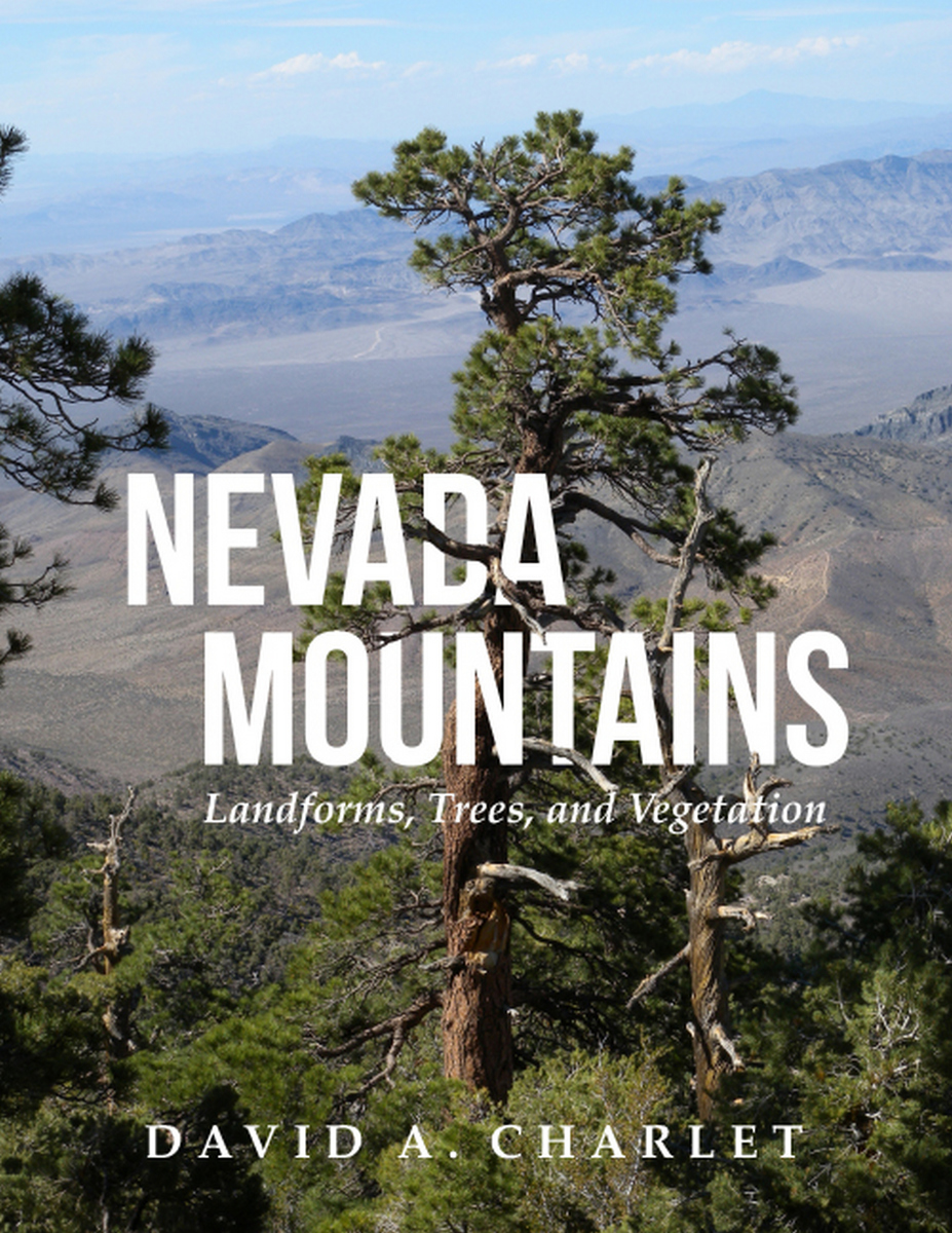
Nevada Mountains: Landforms, Trees, and Vegetation
University of Utah Press, 2023
Cloth: 978-1-60781-727-7 | Paper: 978-1-64769-153-0 | eISBN: 978-1-60781-728-4
Library of Congress Classification GB525.5.N3+
Dewey Decimal Classification 551.43209793
Cloth: 978-1-60781-727-7 | Paper: 978-1-64769-153-0 | eISBN: 978-1-60781-728-4
Library of Congress Classification GB525.5.N3+
Dewey Decimal Classification 551.43209793
ABOUT THIS BOOK | AUTHOR BIOGRAPHY | REVIEWS | TOC | REQUEST ACCESSIBLE FILE
ABOUT THIS BOOK
Nevada is one of the most mountainous states in the US. Yet mapping out exactly where one range begins and another ends has never been done—until now. In this volume David Charlet provides maps and descriptions for all 319 mountain ranges in the state.
Divided into three parts, the book presents a simple system recognizing the primary landscape features of Nevada. Part I describes the methods used to define the boundaries of the ranges and divides the state into meaningful landforms. Part II describes the ecological life zones and their vegetation types. Part III describes the individual mountain ranges. Each mountain range entry contains a descriptive narrative and a data summary that includes the county or counties in which the range occurs, whether the author has visited and collected plants there, the highest point, the base elevation, a brief discussion of the geology, any historic settlements or post offices located in the range, the distribution of life zones, and a list of all conifers and flowering trees.
The result of over thirty years of exploration and study throughout the state, this is a long-overdue compendium of Nevada’s mountains and associated flora. This book is a required reference for anyone venturing out into the Nevada wilds.
See other books on: Cartography | Geographical distribution | Mountains | Nevada | Trees
See other titles from University of Utah Press
