
 A SCHOLARLY BOOK REPOSITORY
5 start with L start with L
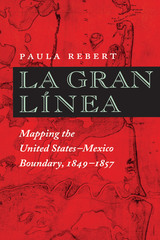
The Treaty of Guadalupe Hildalgo, which officially ended the U.S.-Mexican War in 1848, cost Mexico half its territory, while the United States gained land that became California, Nevada, Utah, Texas, and parts of Colorado, Arizona, and New Mexico. Because the new United States-Mexico border ran through territory that was still incompletely mapped, the treaty also called for government commissions from both nations to locate and mark the boundary on the ground. This book documents the accomplishments of both the U.S. and the Mexican Boundary Commissions that mapped the boundary between 1849 and 1857, as well as the fifty-four pairs of maps produced by their efforts and the ongoing importance of these historical maps in current boundary administration. Paula Rebert explores how, despite the efforts of both commissions to draw neutral, scientific maps, the actual maps that resulted from their efforts reflected the differing goals and outlooks of the two countries. She also traces how the differences between the U.S. and Mexican maps have had important consequences for the history of the boundary.
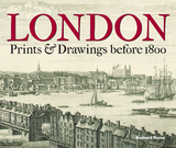
This book presents more than a hundred images of Greater London from before 1800, all from the Gough Collection of the Bodleian Library. We see prints of London before and after the Great Fire, images of the 1780 tornado, panoramas of the Thames, depictions of the building and destruction of landmark bridges, and much more. Making brilliant use of the most extensive collection of London images amassed by any private collector of the period, the book will be essential to anyone delving into the history of the city.
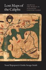
Lost Maps of the Caliphs provides the first general overview of The Book of Curiosities and the unique insight it offers into medieval Islamic thought. Opening with an account of the remarkable discovery of the manuscript and its purchase by the Bodleian Library, the authors use The Book of Curiosities to re-evaluate the development of astrology, geography, and cartography in the first four centuries of Islam. Their account assesses the transmission of Late Antique geography to the Islamic world, unearths the logic behind abstract maritime diagrams, and considers the palaces and walls that dominate medieval Islamic plans of towns and ports. Early astronomical maps and drawings demonstrate the medieval understanding of the structure of the cosmos and illustrate the pervasive assumption that almost any visible celestial event had an effect upon life on Earth. Lost Maps of the Caliphs also reconsiders the history of global communication networks at the turn of the previous millennium. It shows the Fatimid Empire, and its capital Cairo, as a global maritime power, with tentacles spanning from the eastern Mediterranean to the Indus Valley and the East African coast.
As Lost Maps of the Caliphs makes clear, not only is The Book of Curiosities one of the greatest achievements of medieval mapmaking, it is also a remarkable contribution to the story of Islamic civilization that opens an unexpected window to the medieval Islamic view of the world.
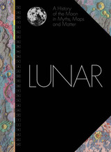
President John F. Kennedy’s rousing “We will go to the Moon” speech in 1961 before the US Congress catalyzed the celebrated Apollo program, spurring the US Geological Survey’s scientists to map the Moon. Over the next eleven years a team of twenty-two, including a dozen illustrator-cartographers, created forty-four charts that forever changed the path of space exploration.
For the first time, each of those beautifully hand-drawn, colorful charts is presented together in one stunning book. In Lunar, National Air and Space Museum curator Matthew Shindell’s expert commentary accompanies each chart, along with the key geological characteristics and interpretations that were set out in the original Geologic Atlas of the Moon. Interwoven throughout the book are contributions from scholars devoted to studying the multifaceted significance of the Moon to humankind around the world. Traveling from the Stone Age to the present day, they explore a wide range of topics: the prehistoric lunar calendar; the role of the Moon in creation myths of Ancient Egypt, Greece, and Rome; the role of the Moon in astrology; the importance of the Moon in establishing an Earth-centered solar system; the association of the Moon with madness and the menstrual cycle; how the Moon governs the tides; and the use of the Moon in surrealist art.
Combining a thoughtful retelling of the Moon’s cultural associations throughout history with the beautifully illustrated and scientifically accurate charting of its surface, Lunar is a stunning celebration of the Moon in all its guises.
READERS
Browse our collection.
PUBLISHERS
See BiblioVault's publisher services.
STUDENT SERVICES
Files for college accessibility offices.
RECENTLY PUBLISHED


")


UChicago Accessibility Resources
home | accessibility | search | about | contact us
BiblioVault ® 2001 - 2024
The University of Chicago Press