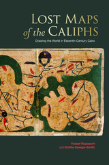
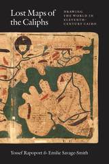
About a millennium ago, in Cairo, an unknown author completed a large and richly illustrated book. In the course of thirty-five chapters, this book guided the reader on a journey from the outermost cosmos and planets to Earth and its lands, islands, features, and inhabitants. This treatise, known as The Book of Curiosities, was unknown to modern scholars until a remarkable manuscript copy surfaced in 2000.
Lost Maps of the Caliphs provides the first general overview of The Book of Curiosities and the unique insight it offers into medieval Islamic thought. Opening with an account of the remarkable discovery of the manuscript and its purchase by the Bodleian Library, the authors use The Book of Curiosities to re-evaluate the development of astrology, geography, and cartography in the first four centuries of Islam. Their account assesses the transmission of Late Antique geography to the Islamic world, unearths the logic behind abstract maritime diagrams, and considers the palaces and walls that dominate medieval Islamic plans of towns and ports. Early astronomical maps and drawings demonstrate the medieval understanding of the structure of the cosmos and illustrate the pervasive assumption that almost any visible celestial event had an effect upon life on Earth. Lost Maps of the Caliphs also reconsiders the history of global communication networks at the turn of the previous millennium. It shows the Fatimid Empire, and its capital Cairo, as a global maritime power, with tentacles spanning from the eastern Mediterranean to the Indus Valley and the East African coast.
As Lost Maps of the Caliphs makes clear, not only is The Book of Curiosities one of the greatest achievements of medieval mapmaking, it is also a remarkable contribution to the story of Islamic civilization that opens an unexpected window to the medieval Islamic view of the world.