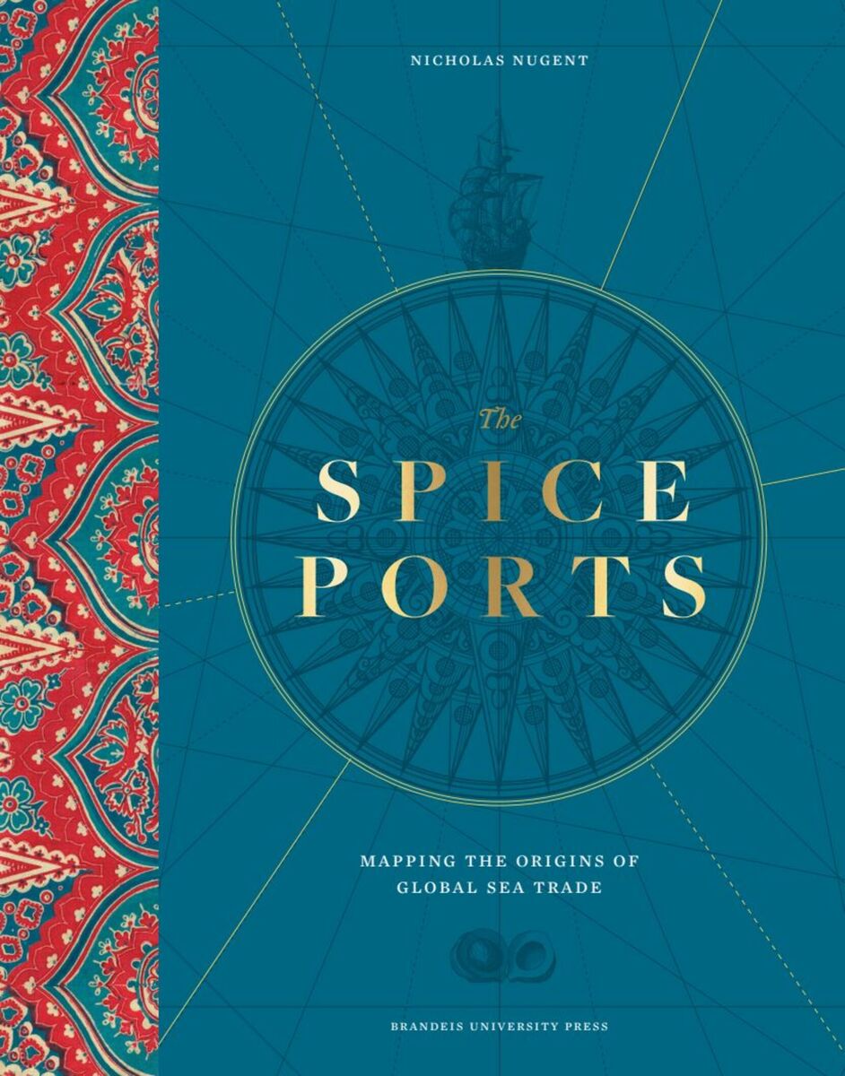
The Spice Ports: Mapping the Origins of the Global Sea Trade
Brandeis University Press, 2024
Cloth: 978-1-68458-244-0 | eISBN: 978-1-68458-245-7
See other books on: History | Mapping | Origins | Social History | World
See other titles from Brandeis University Press
Cloth: 978-1-68458-244-0 | eISBN: 978-1-68458-245-7
ABOUT THIS BOOK | AUTHOR BIOGRAPHY | TOC
ABOUT THIS BOOK
A first-class narrative writer blends his unique cartographic and topographic understanding of the key ports of early seaborne commerce.
We may think of “globalism” as a recent development but its origins date back to the fifteenth century and beyond, when seafarers pioneered routes across the oceans with the objectives of exploration, trade, and profit.
These voyages only became possible after certain technical innovations—improvements in ship design, compasses, and mapping—enabled navigation across unprecedented distances. The mariners’ embarkation points were the vibrant ports of the West—Venice, Amsterdam, Lisbon—and their destinations the exotic ports of the East—Malacca, Goa, Bombay—where they tracked down the elusive spices, so much in demand by Western palates.
This development of maritime communication brought benefits apart from culinary delights: the spread of ideas on art, literature, and science. But it was not necessarily beneficial for everyone concerned: colonial ambitions were often disastrous for local populations, who were frequently exploited as slave plantation labor.
This wide-ranging account of a fascinating period of global history uses original maps and contemporary artists’ views to tell the story of how each port developed individually while also encouraging us to consider contrasting points of view of the benefits and the damages of the maritime spice trade.
See other books on: History | Mapping | Origins | Social History | World
See other titles from Brandeis University Press


