
 A SCHOLARLY BOOK REPOSITORY
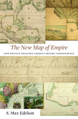
After the Treaty of Paris ended the Seven Years’ War in 1763, British America stretched from Hudson Bay to the Florida Keys, from the Atlantic coast to the Mississippi River, and across new islands in the West Indies. To better rule these vast dominions, Britain set out to map its new territories with unprecedented rigor and precision. Max Edelson’s The New Map of Empire pictures the contested geography of the British Atlantic world and offers new explanations of the causes and consequences of Britain’s imperial ambitions in the generation before the American Revolution.
Under orders from King George III to reform the colonies, the Board of Trade dispatched surveyors to map far-flung frontiers, chart coastlines in the Gulf of St. Lawrence, sound Florida’s rivers, parcel tropical islands into plantation tracts, and mark boundaries with indigenous nations across the continental interior. Scaled to military standards of resolution, the maps they produced sought to capture the essential attributes of colonial spaces—their natural capacities for agriculture, navigation, and commerce—and give British officials the knowledge they needed to take command over colonization from across the Atlantic.
Britain’s vision of imperial control threatened to displace colonists as meaningful agents of empire and diminished what they viewed as their greatest historical accomplishment: settling the New World. As London’s mapmakers published these images of order in breathtaking American atlases, Continental and British forces were already engaged in a violent contest over who would control the real spaces they represented.
Accompanying Edelson’s innovative spatial history of British America are online visualizations of more than 250 original maps, plans, and charts.
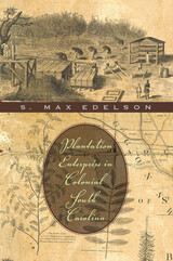
This impressive scholarly debut deftly reinterprets one of America's oldest symbols--the southern slave plantation. S. Max Edelson examines the relationships between planters, slaves, and the natural world they colonized to create the Carolina Lowcountry.
European settlers came to South Carolina in 1670 determined to possess an abundant wilderness. Over the course of a century, they settled highly adaptive rice and indigo plantations across a vast coastal plain. Forcing slaves to turn swampy wastelands into productive fields and to channel surging waters into elaborate irrigation systems, planters initiated a stunning economic transformation.
The result, Edelson reveals, was two interdependent plantation worlds. A rough rice frontier became a place of unremitting field labor. With the profits, planters made Charleston and its hinterland into a refined, diversified place to live. From urban townhouses and rural retreats, they ran multiple-plantation enterprises, looking to England for affirmation as agriculturists, gentlemen, and stakeholders in Britain's American empire. Offering a new vision of the Old South that was far from static, Edelson reveals the plantations of early South Carolina to have been dynamic instruments behind an expansive process of colonization.
With a bold interdisciplinary approach, Plantation Enterprise reconstructs the environmental, economic, and cultural changes that made the Carolina Lowcountry one of the most prosperous and repressive regions in the Atlantic world.
READERS
Browse our collection.
PUBLISHERS
See BiblioVault's publisher services.
STUDENT SERVICES
Files for college accessibility offices.
RECENTLY PUBLISHED

")


UChicago Accessibility Resources
home | accessibility | search | about | contact us
BiblioVault ® 2001 - 2024
The University of Chicago Press