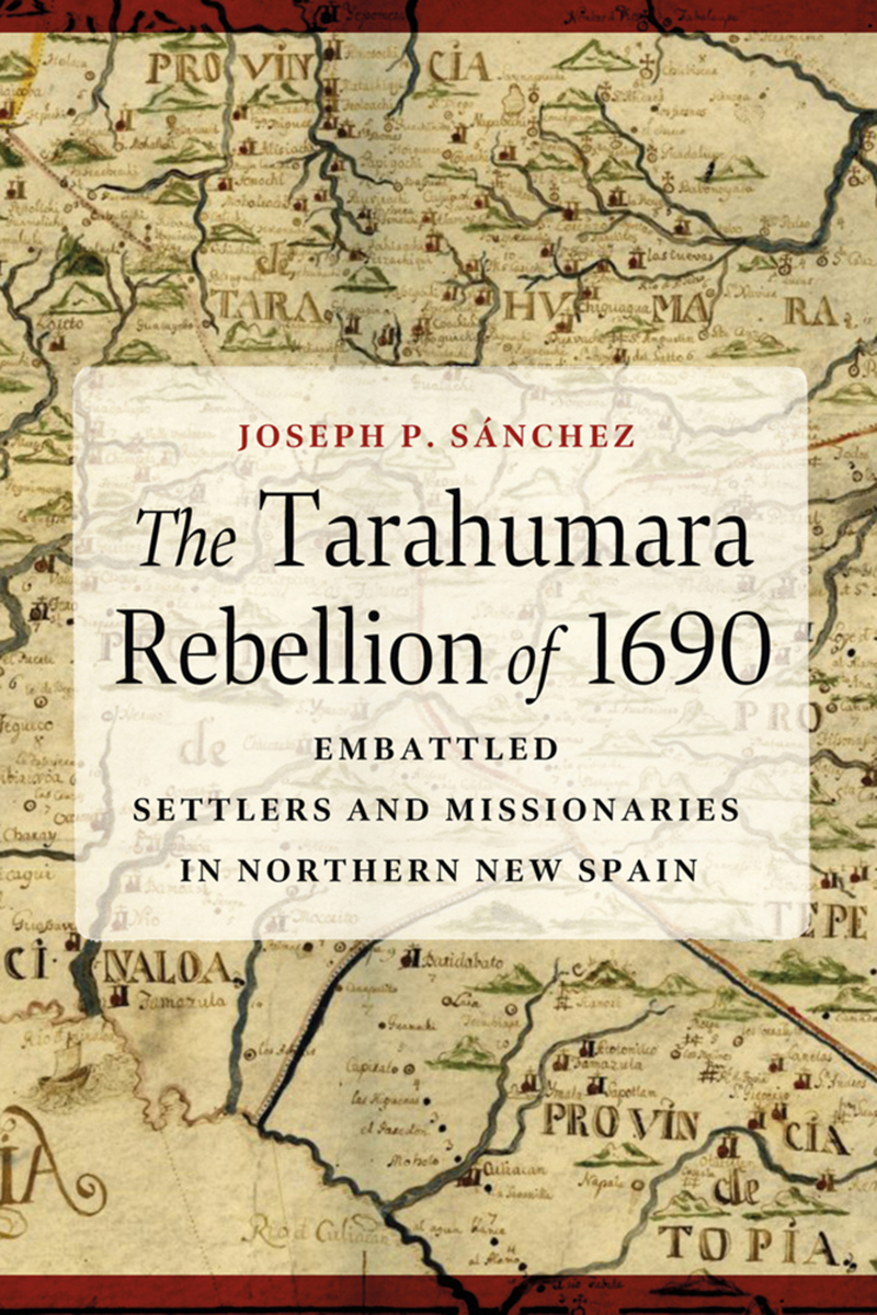
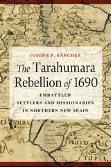
The Tarahumara Rebellion of 1690: Embattled Settlers and Missionaries in Northern New Spain
University of Arizona Press, 2025
Cloth: 978-0-8165-5585-7 | Paper: 978-0-8165-5584-0 | eISBN: 978-0-8165-5586-4 (standard)
Library of Congress Classification F1221.T25S26 2025
See other books on: Colonial History & Interaction with Nations, Tribes, Bands & Communities | Missionaries | Spaniards | Spanish colony, 1540-1810 | Wars
See other titles from University of Arizona Press
Cloth: 978-0-8165-5585-7 | Paper: 978-0-8165-5584-0 | eISBN: 978-0-8165-5586-4 (standard)
Library of Congress Classification F1221.T25S26 2025
ABOUT THIS BOOK | AUTHOR BIOGRAPHY | REVIEWS | TOC
ABOUT THIS BOOK
The Tarahumara Rebellion of 1690 examines a seventeenth-century Indigenous uprising in northern Mexico aimed at driving out Spanish miners, missionaries, and settlers from Tarahumara (Rarámuri) and Tepehuanes homelands.
Previous histories have interpreted this revolt, and other borderlands uprisings, as localized and spontaneous events aimed at rectifying specific grievances. Historian Joseph P. Sánchez argues that the revolts of the Tepehuanes and the Tarahumaras in northern New Spain, or Nueva Vizcaya, were well-planned, inspired by outside events, and drew in multiple communities and ethnicities. Drawing on a wealth of primary sources, including Jesuit accounts and archival documents, Sánchez offers a comprehensive narrative that challenges conventional interpretations of colonial Mexican uprisings.
Far from localized, the Indigenous rebellions in the northern Mexican borderlands during the colonial period were part of the overall Indigenous struggle for defense of homeland throughout the Americas. The Tarahumara Rebellion of 1690 brings together a rich history of localized events and broader historical trends and offers a compelling narrative that enriches our understanding of the colonial experience in northern New Spain.
See other books on: Colonial History & Interaction with Nations, Tribes, Bands & Communities | Missionaries | Spaniards | Spanish colony, 1540-1810 | Wars
See other titles from University of Arizona Press
