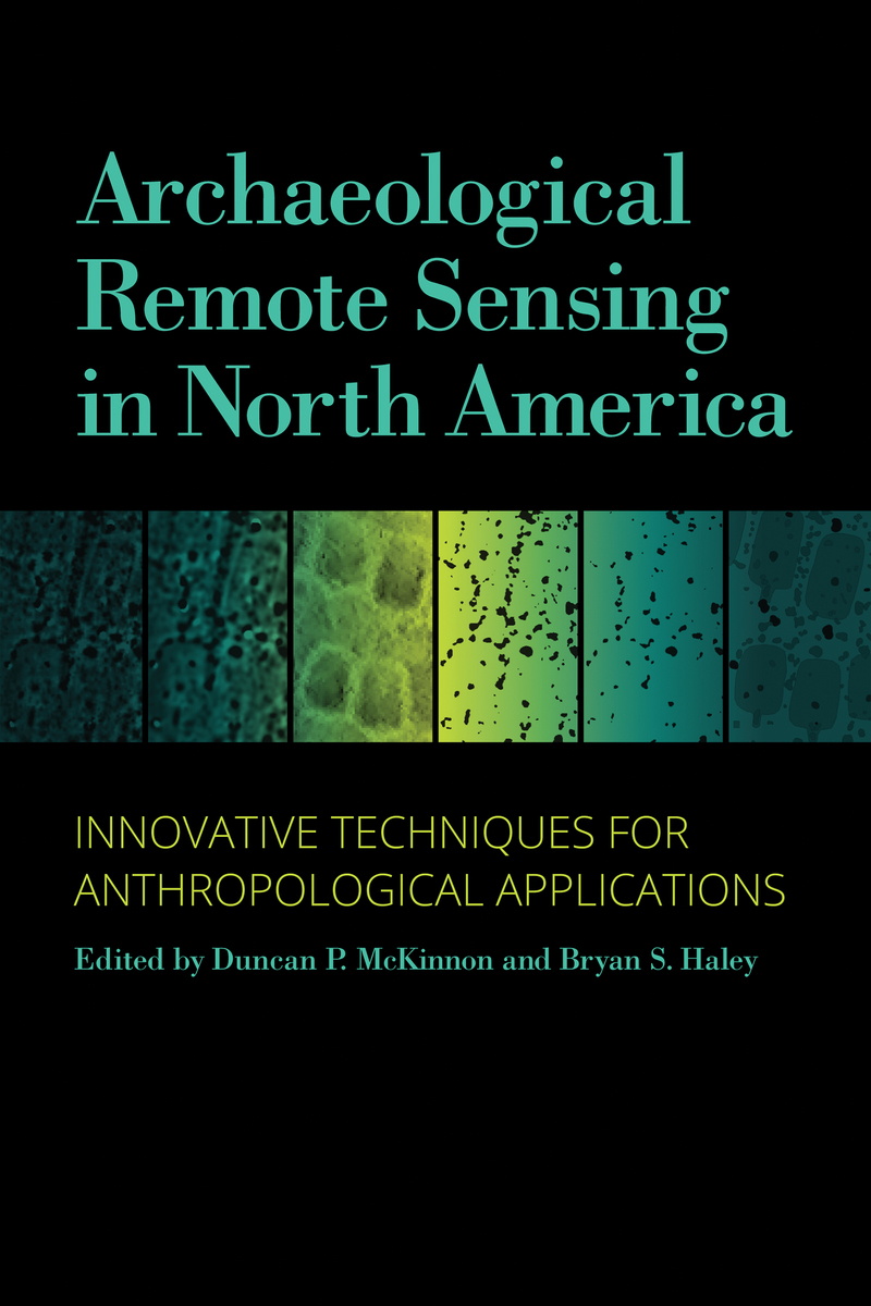
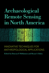
Archaeological Remote Sensing in North America: Innovative Techniques for Anthropological Applications
University of Alabama Press, 2017
Cloth: 978-0-8173-1959-5 | eISBN: 978-0-8173-9141-6
Library of Congress Classification E77.9.A715 2017
Dewey Decimal Classification 970.01
Cloth: 978-0-8173-1959-5 | eISBN: 978-0-8173-9141-6
Library of Congress Classification E77.9.A715 2017
Dewey Decimal Classification 970.01
ABOUT THIS BOOK | AUTHOR BIOGRAPHY | REVIEWS | TOC
ABOUT THIS BOOK
The latest on the rapidly growing use of innovative archaeological remote sensing for anthropological applications in North America
Updating the highly praised 2006 publication Remote Sensing in Archaeology, edited by Jay K. Johnson, Archaeological Remote Sensing in North America: Innovative Techniques for Anthropological Applications is a must-have volume for today’s archaeologist. Targeted to practitioners of archaeological remote sensing as well as students, this suite of current and exemplary applications adheres to high standards for methodology, processing, presentation, and interpretation.
The use of remote sensing technologies to address academic and applied archaeological and anthropological research problems is growing at a tremendous rate in North America. Fueling this growth are new research paradigms using innovative instrumentation technologies and broader-area data collection methods. Increasingly, investigators pursuing these new approaches are integrating remote sensing data collection with theory-based interpretations to address anthropological questions within larger research programs.
In this indispensable volume, case studies from around the country demonstrate the technically diverse and major remote sensing methods and their integration with relevant technologies, such as geographic information systems (GIS) and global positioning systems (GPS), and include various uses of the “big four”: magnetometry, resistivity, ground-penetrating radar (GPR), and electromagnetic induction.
The study explores four major anthropological themes: site structure and community organization; technological transformation and economic change; archaeological landscapes; and earthen mound construction and composition. Concluding commentary from renowned expert Kenneth L. Kvamme overviews the practices, advances, and trends of geophysics and remote sensing in the past decade.
See other books on: Buikstra, Jane E. | Johnson, Jay K. | Livingood, Patrick C. | Regnier, Amanda L. | Remote sensing
See other titles from University of Alabama Press
