Planning the City upon a Hill: Boston since 1630
University of Massachusetts Press, 1992
Paper: 978-0-87023-923-6 | eISBN: 978-1-68575-759-5 (PDF)
See other books on: Hill | Kennedy, Lawrence W. | Local | New England (CT, MA, ME, NH, RI, VT) | Planning
See other titles from University of Massachusetts Press
Paper: 978-0-87023-923-6 | eISBN: 978-1-68575-759-5 (PDF)
ABOUT THIS BOOK | AUTHOR BIOGRAPHY | REVIEWS
ABOUT THIS BOOK
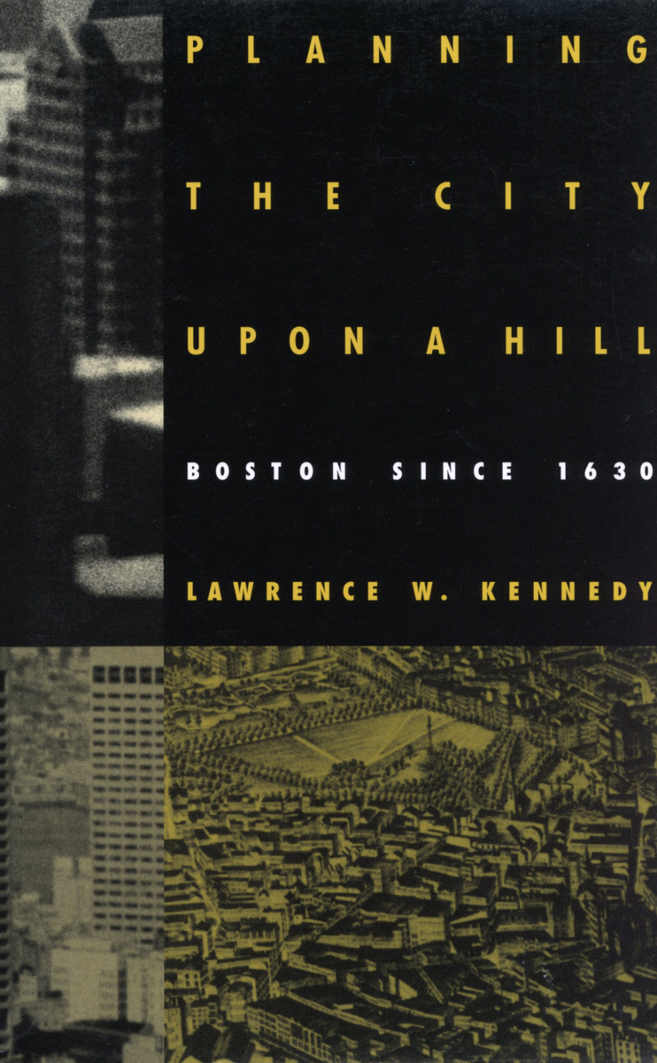
The focus of this study is on the changing role of local government in city planning. Boston's municipal government holds the primary responsibility for guiding the growth of the city. The city's political leaders have always needed to work with partners in the private sector, and in the twentieth century have found it increasingly necessary to cooperate with federal and state agencies as well. Although the roles played by the federal and state governments--like that played by the private sector--are crucial to the story of Boston, the author considers them in relation to city government. Planning the City upon a Hill is not, then, a comprehensive account of all planning done by government agencies, but an attempt to examine the process of planning and uncover some of the patterns at work. Planning Boston has been a sustained activity for nearly four centuries: this study is the story of the continuous evolution of both an idea and a city.
See other books on: Hill | Kennedy, Lawrence W. | Local | New England (CT, MA, ME, NH, RI, VT) | Planning
See other titles from University of Massachusetts Press