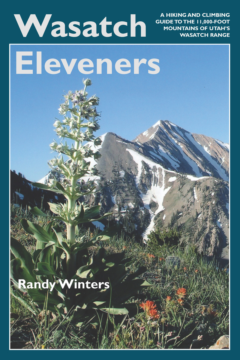
Wasatch Eleveners: A Hiking and Climbing Guide to the 11,000 foot Mountains of Utah's Wasatch Range
University of Utah Press, 2006
Paper: 978-0-87480-864-3
Library of Congress Classification GV199.42.U82W378 2006
Dewey Decimal Classification 917.922
Paper: 978-0-87480-864-3
Library of Congress Classification GV199.42.U82W378 2006
Dewey Decimal Classification 917.922
ABOUT THIS BOOK | AUTHOR BIOGRAPHY | REVIEWS | TOC | REQUEST ACCESSIBLE FILE
ABOUT THIS BOOK
The Wasatch Mountains sit on the western edge of the Rockies. Stretching south through Utah from Bear River in the north to Mount Nebo in the central part of the state, their peaks dominate the skyline of Salt Lake City and nearby urban areas. Elevations range from 9,000 to almost 12,000 feet, with eighteen peaks above 11,000 feet. All of the 11ers can be summited as a day-hike, without the use of climbing gear.
This guide provides information on trailhead access, approaches, and routes for every 11,000-foot peak. It includes overview maps of major roads, topographical overview maps, and detailed route maps for each peak. There are also total roundtrip mileages, elevation-gain (or loss) figures, and alternate routes to help hikers plan their adventures.
Featured peaks include North Mount Nebo, South Mount Nebo, Middle Mount Nebo, Mount Timpanogos, 'South' Timpanogos, West American Fork Twin Peak, 'North' Timpanogos, 'South' American Fork Twin Peak, Unnamed 11,383, Unnamed 11,347, East Broads Fork Twin Peak, West Broads Fork Twin Peak, Pfeifferhorn, White Baldy, Sunrise Peak, Unnamed 11,288, Lone Peak, North Peak, Red Baldy, Red Top Mountain, South Thunder, North Thunder, Unnamed 11,137, Monte Cristo Peak, Dromedary Peak, Box Elder Peak, Mount Baldy, Provo Peak, Sugarloaf Mountain, 'East' Provo Peak, Mount Superior, and 'East' American Fork Twin Peak.
See other books on: 11 | Guidebooks | Hiking | Sports & Recreation | Wasatch Range (Utah and Idaho)
See other titles from University of Utah Press


