
 A SCHOLARLY BOOK REPOSITORY
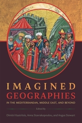
This collaborative volume focuses on imagined geography and the relationships among power, knowledge, and space. A sequel to Imperial Geographies in Byzantine and Ottoman Space, Imagined Geographies in the Mediterranean, Middle East, and Beyond shares with its predecessor a strong focus on the role of empire and ideas of space viewed in inter-regional and interdisciplinary terms.
Both volumes bring together specialists on history, art history, literature, and theater studies, but the present volume covers an even wider geography than the first. In addition to the core provinces of Byzantium and the Ottoman Empire in the eastern Mediterranean and Middle East, it also includes connections between these regions and others further away—notably Iran, Inner Asia, and the Indian Ocean. The essays collected here suggest that the phenomenon of imagined geographies is essentially discursive in nature, since Self and Other may only be defined relative to one another.
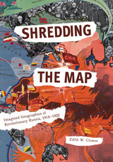
An innovative, digitally-aided study of Russia’s “imagined geography” during the early decades of the twentieth century, Shredding the Map uncovers vying emotional patterns and responses to Russian ideas of place, some familiar and some quite new. The book includes new visualizations that connect otherwise invisible networks of shared place, feeling, and perception among dozens of writers in order to trace patterns of geospatial identity. A scholarly companion to the “Mapping Imagined Geographies of Revolutionary Russia” website and database, this book offers an innovative analysis of place and identity beyond the centers of power, enhancing our perceptions of Russia and encouraging debate about the possibilities for digital humanities and literary analysis.
READERS
Browse our collection.
PUBLISHERS
See BiblioVault's publisher services.
STUDENT SERVICES
Files for college accessibility offices.
RECENTLY PUBLISHED


UChicago Accessibility Resources
home | accessibility | search | about | contact us
BiblioVault ® 2001 - 2025
The University of Chicago Press