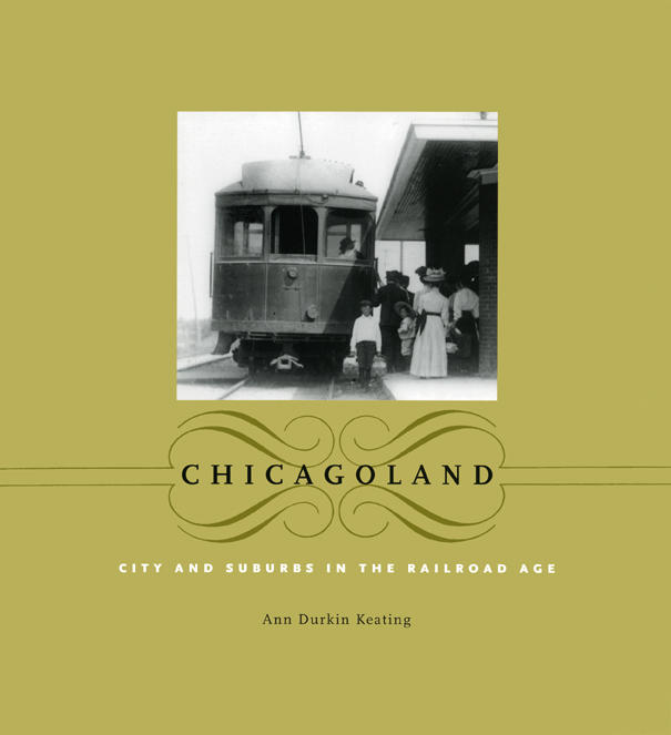
Chicagoland: City and Suburbs in the Railroad Age
University of Chicago Press, 2005
Cloth: 978-0-226-42879-6 | Paper: 978-0-226-42882-6 | eISBN: 978-0-226-42881-9
Library of Congress Classification F548.68.A1K43 2005
Dewey Decimal Classification 977.31
Cloth: 978-0-226-42879-6 | Paper: 978-0-226-42882-6 | eISBN: 978-0-226-42881-9
Library of Congress Classification F548.68.A1K43 2005
Dewey Decimal Classification 977.31
ABOUT THIS BOOK | AUTHOR BIOGRAPHY | REVIEWS | TOC | REQUEST ACCESSIBLE FILE
ABOUT THIS BOOK
Formed by images of crowded city streets and towering skyscrapers, our understanding of nineteenth-century Chicago completely neglects the fact that the city itself was only the center of a web of neighborhoods, farm communities, and industrial towns—many connected to the city by the railroad. Farmers used trains to transport produce into the city daily; businessmen rode the rails home to their commuter suburbs; and families took vacations mere miles outside the Loop.
Historian and coeditor of the acclaimed Encyclopedia of Chicago, Ann Durkin Keating resurrects for us here the bustling network that defined greater Chicagoland. Taking a new approach to the history of the city, Keating shifts the focus to the landscapes and built environments of the metropolitan region. Organized by four categories of settlements-farm centers, industrial towns, commuter suburbs, and recreational and institutional centers-that framed the city, Chicagoland offers the collective history of 230 neighborhoods and communities, the people who built them, and the structures they left behind that still stand today.
Keating reanimates nineteenth-century Chicagoland with more than a hundred photographs and maps; we find here the taverns, depots, and way stations that were the hubs of the region's vibrant, mobile life. Keating also includes an appendix of driving tours so readers can see this history for themselves. Chicagoland takes us into the buildings and sites that are still part of our landscape and repopulates them with the stories and characters behind their creation. The result is a wide-angle historical view of Chicago, an entirely new way to understand the region.
See other books on: Buildings, structures, etc | History, Local | Railroads | Suburban life | Suburbs
See other titles from University of Chicago Press
